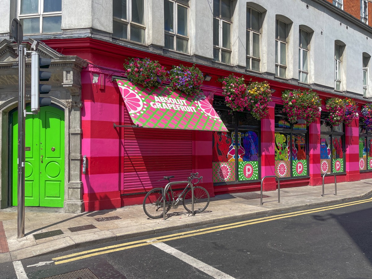
THE ACTUAL STREETS OF THE CITY
The area of Dublin Bay has been inhabited by humans since prehistoric times, but the writings of Ptolemy (the Greco-Roman astronomer and cartographer) in about AD 140 provide possibly the earliest reference to a settlement there. He called it Eblana polis (Greek: Ἔβλανα πόλις).
Dublin celebrated its 'official' millennium in 1988, meaning the Irish government recognised 988 as the year in which the city was settled and that this first settlement would later become the city of Dublin.
It is now thought the Viking settlement of about 841 was preceded by a Christian ecclesiastical settlement known as Duibhlinn, from which Dyflin took its name. Beginning in the 9th and 10th century, there were two settlements which later became the modern Dublin. The subsequent Scandinavian settlement centred on the River Poddle, a tributary of the Liffey in an area now known as Wood Quay. The Dubhlinn was a pool on the lowest stretch of the Poddle, where ships used to moor. This pool was finally fully infilled during the early 18th century, as the city grew. The Dubhlinn lay where the Castle Garden is now located, opposite the Chester Beatty Library within Dublin Castle. Táin Bó Cuailgne ("The Cattle Raid of Cooley") refers to Dublind rissa ratter Áth Cliath, meaning "Dublin, which is called Ath Cliath".
You will find links to buy products from Amazon, Google and other partners. If you click on these links, you’ll find that the URL includes a small extra piece of text which identifies that the click came from my websites. This text is an affiliate code, and it means that I get a small percentage of the money you spend if you choose to buy that product, or, in some cases, other products from the site soon after. These affiliate links help pay the costs of producing my websites and ensure that the content is free to you.
COPYRIGHT INFORMATION BELOW APPLIES ONLY TO PHOTOGRAPHS

This work by William Murphy aka Infomatique is licensed under a Creative Commons Attribution-NonCommercial-ShareAlike 4.0 International License.
Permissions beyond the scope of this license may be available at https://excellentstreetimages.com/in-the-year-twentytwenty/copyright/.
SITEMAP
- TOP MENU
- DUBLIN
- SCULPTURE IN CONTEXT
- AREAS OF DUBLIN
- BALLSBRIDGE
- BROADSTONE
- CABRA
- CITYWEST
- CLONTARF
- COOMBE
- DOCKLANDS
- PLACES OF INTEREST
- SUNSET
- SALESFORCE TOWER
- BOATS AND SHIPS
- CAPITAL DOCK
- ROGERSONS QUAY
- GUILD STREET AREA
- BARROW STREET AREA
- U2 TOWER
- INNOVATION DISTRICT
- GRAND CANAL DOCK
- SNAPSHOT EARLY 2012
- DIVING BELL AT NIGHT
- CONVENTION CENTRE
- PUBS AND RESTAURANTS
- BRIDGES
- URBAN DECAY
- PUBLIC ART
- STREET ART
- DUBLINBIKE
- DRIMNAGH
- FAIRVIEW
- GLASNEVIN
- GRANGEGORMAN
- HAROLDS CROSS
- INCHICORE
- KILLESTER
- LAUGHANSTOWN
- MARKET AREA
- MILLTOWN
- NEWMARKET AREA
- NORTH STRAND
- PARK WEST
- POOLBEG
- PHIBSBORO
- QUAYS
- RAHENY
- RINGSEND
- SANDYMOUNT
- STONEYBATTER
- SMITHFIELD 2019
- TEMPLE BAR
- ACTUAL STREETS
- ANGLESEA ROW
- BAGGOT STREET
- BENBURB STREET
- ABBEY STREET
- ARRAN QUAY
- BATH AVENUE
- BERESFORT PLACE
- BLESSINGTON STREET
- BOLTON STREET
- BLACKHALL PLACE
- BRIDGEFOOT STREET
- BRUNSWICK NORTH
- CAPEL STREET
- CHARLEMONT MALL
- CHARLEMONT STREET
- CHARLES STREET
- CHURCH STREET
- DAME STREET
- DENMARK STREET
- DAVITT ROAD
- DAWSON STREET
- DOMINICK STREET
- DONORE AVENUE
- DORSET STREET
- ENGINE ALLEY
- FRANCIS STREET
- GRAFTON STREET
- GARDINER STREET
- GRAND CANAL STREET LOWER
- GREEN STREET
- GROVE ROAD
- GRANGEGORMAN LOWER
- HALSTON STREET
- HENRIETTA STREET
- HILL STREET
- JONES'S ROAD
- JAMES STREET
- KINGS INNS STREET
- LEINSTER ROAD
- MARY'S ABBEY
- MANOR STREET
- MALBOROUGH STREET
- MOLAND PLACE
- MOORE STREET
- MOUNT STREET LOWER
- MOUNTJOY STREET
- MURDERING LANE
- NORTH KING STREET
- NORTH LEINSTER STREET
- O'CONNELL STREET
- PARNELL STREET
- PALACE STREET
- PETERS PLACE
- PEARSE STREET
- PHIBSBOROUGH ROAD
- RATHGAR ROAD 2019
- RATHMINES ROAD
- SOUTH CIRCULAR ROAD
- SOUTH DOCK ROAD
- SOUTH RICHMOND STREET
- STRAND STREET
- SUIR ROAD
- TARA STREET
- THORNCASTLE STREET
- THOMAS STREET
- TOWNSEND STREET
- WATLING STREET
- WESTLAND ROW
- WINDMILL LANE
- YARNHALL STREET
- BARBER SHOPS
- CLOCKS
- DERELICT
- EMERGENCY
- PUBLIC TRANSPORT
- LUAS TRAM
- GOCAR.IE
- BICYCLE
- DUBLINBIKE
- BARROW STREET
- BLACKHALL STREET
- BLESSINGTON
- BOLTON STREET
- CONVENTION CENTRE
- CUSTOM HOUSE QUAY
- CUSTOM HOUSE
- EXCHEQUER
- FOWNES STREET
- GOLDEN LANE
- GRAND CANAL SQUARE
- GUILD STREET
- HEUSTON SOUTH
- KING STREET NORTH
- PARKGATE STREET
- PALACE STREET
- PARNELL SQUARE
- PARKGATE STREET
- POINT DEPOT
- PORTOBELLO
- STRAND STREET
- UPPER ORMOND QUAY
- WEST LIFFEY STREET
- WESTERN WAY 116
- DUBLINBIKE MENU
- DUBLINBIKE
- BUS
- TRAINS
- DART TRAINS
- FREE TRAVEL
- DISABLED PASSENGERS
- RED METAL THINGS
- RELIGION
- RESTAURANTS AND PUBS
- RIVERS & CANALS IN DUBLIN
- SEE AND DO
- TOWNS AND VILLAGES
- A TO D
- ARTANE
- BALLSBRIDGE
- BALLYBOUGH
- BALLYBOUGHAL
- BALLYMUN
- BEAUMONT
- BLACKROCK
- BLUEBELL
- BOOTERSTOWN
- BROADSTONE
- DRUMCONDRA
- CABRA
- CHERRYWOOD
- CHURCHTOWN
- CLONGRIFFIN
- CORNELSCOURT VILLAGE
- DALKEY
- DUNDRUM
- DUN LAOGHAIRE RATHDOWN
- E TO H
- I TO P
- MAJOR TOWNS
- RINGSEND
- RANELAGH
- RATHMINES AREA
- RATHGAR AREA
- TERENURE
- A TO D
- MAIN MENU
- THE REAL DUBLIN
- DUBLIN 2019
- DUBLIN 2018
- BOATS AND SHIPS
- BUILDINGS
- DUBLIN BIKES
- EVENTS
- PARKS AND GARDENS
- PUBS
- PUBLIC ART
- RELIGION
- RESTAURANTS 2018
- STREETART
- TRAM NETWORK
- DECEMBER 2018
- NOVEMBER 2018
- OCTOBER 2018
- SEPTEMBER 2018
- AUGUST 2018
- JULY 2018
- JUNE 2018
- MAY 2018
- APRIL 2018
- MARCH 2018
- FEB DIARY
- JAN DIARY
- DUBLIN 2017
- BEFORE 2017
- DUBLIN 2016
- EVENTS
- CHEAP AS CHIPS
- RESTAURANTS PUBS HOTELS
- DOCKLANDS
- RIVERS & CANALS
- SCULPTURE IN CONTEXT
- PUBLIC PARKS 2016
- PUBLIC ART
- PLACES
- INTERESTING
- DUBLIN 2015
- DUBLIN 2009
- DUBLIN 2008
- DUBLIN 2006
- DUBLIN JANUARY 2006
- DUBLIN APRIL 2006
- DUBLIN 11 JUNE 2006
- DUN LAOGHAIRE JUNE 2006
- 7 JULY 2006
- 8 JULY 2006
- BLACKROCK JULY 2006
- DUBLIN 16 JULY 2006
- 29 JULY 2006
- 2 AUGUST 2006
- 3 AUGUST 2006
- 5 AUGUST 2006
- 6 AUGUST 2006
- 7 AUGUST 2006
- 8 AUGUST 2006
- 9 AUGUST 2006
- 16 AUGUST 2006
- SEPTEMBER VISIT TO KERRY
- WATERVILLE IN KERRY
- 21 OCTOBER 2006
- ZOO OCTOBER 2006
- 11 NOVEMBER 2006
- 18 NOVEMBER 2006
- 26 NOVEMBER 2006
- CHRISTMAS 2006 TRIM
- CHRISTMAS WEEK 2006
- DUBLIN 2005
- DUBLIN 2004
- DUBLIN 2016
- URBAN CULTURE
- STREET ART
- DUBLIN CANVAS
- UNCONVENTIONAL
- PARK GATE
- BACK IN TOWN
- HIGH STREET
- LYNOTT
- HORSEMEN
- LOVE MOR
- BOLTON STREET
- SHALOM COSTA
- BATTERBRICKS
- COFFEE PALS
- HAPPY FRIDAY
- FATHER TED
- HANNAH MC D
- MAPPED
- MULTICULTURED BIRDS
- VIKING HOLIDAY
- CITY FOX
- CHANCERY STREET
- MARYS LANE
- DUBLIN ECCENTRICS
- EVE WOODS
- DISCOVERY
- DOCKLANDS
- HOLD ME CLOSE
- LEARNING MAN
- COMING SOON
- ARTIST - HUGH MADDEN
- MAUREEN O'HARA
- MONTY BY KIM BALE
- STANDPOINT BY LARISSA TAMAYOSHI
- POPPY CORNER
- FRANCESCA SAUNDERS
- CANAL ROAD - LOVE MOR
- STOP WARS
- ALBENTY
- POLLUTION
- MARITAN
- HERBERT HABITAT
- CHERRY PICKING
- LITTLE GREEN STREET GALLERY
- PETERS PLACE
- SOUTH RICHMOND STREET
- TRASH ANIMALS
- HANOVER QUAY
- BURGESS LANE
- LINDSAY ROAD
- DUBLIN CANVAS
- POSTERS
- PUBLIC ART
- MEMORIALS AND MONUMENTS
- BATTLE OF MOUNT STREET
- IRA MEMORIAL
- JIM LARKIN
- MIAMI SHOWBAND MEMORIAL
- ROBERT EMMET THOMAS STREET
- STREETART - ANNE DEVLIN
- ROBERT EMMET STEPHEN'S GREEN
- JAMES CONNOLLY
- USHER MEMORIAL IN DUNDRUM
- GHOST BIKE
- IN LOVING MEMORY
- BOB DOYLE
- SPANISH CIVIL WAR
- THOMAS KETTLE
- COUNTESS MARKIEVICZ
- ROBERT EMMET
- DEMOLITION DAVE
- CUSTOM HOUSE
- BENJAMIN LEE GUINNESS
- BRENDAN BEHAN
- A SPECIAL OLYMPICS
- JAMES CLARENCE MANGAN
- RABINDRANATH TAGORE
- O'DONOVAN ROSSA
- VERONICA GUERIN
- JAMES JOYCE
- NATIONAL WAR MEMORIAL
- WELLINGTON MONUMENT
- HERBERT PARK
- WILLIAM ASHFORD
- MERCHANT MARINE
- LIAM WHELAN
- HUNGER STRIKERS
- SCULPTURE
- MEMORIALS AND MONUMENTS
- EVENTS
- FESTIVALS
- PRIDE 2017
- SCULPTURE IN CONTEXT 2017
- ARTISTS 2017
- GUNVOR ANHOJ
- JACKIE BALL
- PETER BIELENBERG
- MICHAEL CALNAN
- CLIODNA CUSSEN
- MICK DAVIS
- PATRICK DILLON
- KEN DREW
- STEVE DOODY
- ANA DUNCAN
- NUALA EARLY
- JO HATTY
- RICHARD HEALY
- WILLIAM FOLEY
- FLYNN-GENT
- MARTIN OKEEFE
- McWILLIAMS
- GERALDINE MURPHY
- EMER ODONNELL
- EMMET KANE
- EVA KELLY
- KEVIN PIERCE
- FREDERIC RUCKENBROD
- MARK RYAN
- MARIE SMITH
- NIAMH SYNNOTT
- BRIAN SYNNOTT
- MARTINA WORRALL
- 2016 EXHIBITION
- 2015 EXHIBITION
- DEISE DAISIES BY WILLIAM HARVEY
- PEACE LILY BY RICHIE HEALY
- BIRD SONG BY MICHELE HANNAN
- SPIRIT OF THE HARVEST BY GEORGE WALSH
- DUCKLINGS BY ELSE RINGNALDA
- MYTHICAL BEAST BY SALLY HOUSTON
- SPRING SYMPHONY BY DAVID McGLYNN
- WATERLILIES BY SEAMUS GILL
- CLASSICAL GROWTH BY KEN DREW
- FINGLAS BOYS BY SOPHIE VON MALTZAN
- IT TOLLS FOR THEE BY NIAMH AND BRIAN SYNNOTT
- FOUNTAIN BY BRIAN BYRNE
- BEING WITH OAK - CONLETH GENT
- WORLD IN YOUR HANDS
- PHOTOGRAPHS 2015 EVENT
- 2014 EXHIBITION
- 2013 EXHIBITION
- ARTISTS 2017
- AFRICA DAY 2017
- TALL SHIPS
- SAINT PATRICK 2017
- EXPERIENCE JAPAN
- PATRICKS DAY BEFORE 2016
- 2015
- THE BANDS
- KILGORE COLLEGE RANGERETTES
- BAND FROM MEXICO
- CLONDALKIN YOUTH BAND
- WOODSTOCK HIGH SCHOOL
- CHICAGO POLICE DEPARTMENT
- COLUMBUS EAST HIGH SCHOOL
- MUSIKVEREIN TRACHTENKAPELLE BIEDERBACH
- NDSU GOLD MARCHING BAND
- ALBANY MARCHING FALCONS
- CHARLOTTE HIGH SCHOOL
- EASTERN NEW MEXICO UNIVERSITY
- MUSIKKAPELLE GARMISCH
- UNIVERSITY OF SOUTHERN MISSISSIPPI MARCHING BAND
- SPIRIT OF NORTHWESTERN
- CORONADO HIGH SCHOOL
- I LOVE MY CITY
- FESTIVAL CEILI
- DUBLIN GOES GREEN
- GLOBAL GREENING
- OFFICIAL PROGRAMME
- OFFICIAL PHOTOGRAPHS
- ENDA KENNY VISITS THE USA
- GREENING OF THE SPIRE
- THE BANDS
- 2013
- 2010
- 2009
- 2008
- 2015
- MARCH 10 2016
- NEAR GIBSON HOTEL
- APRIL 2016
- JANUARY 2017
- STREET ART
- MORE OPTIONS
- OTHER CITIES
- SITEMAP
- OFFICIAL STUFF