THE ACTUAL STREETS OF CORK EXPLORING THE CITY
THE IMAGES ARE MENU OPTIONS
-

PRINCES STREET
-

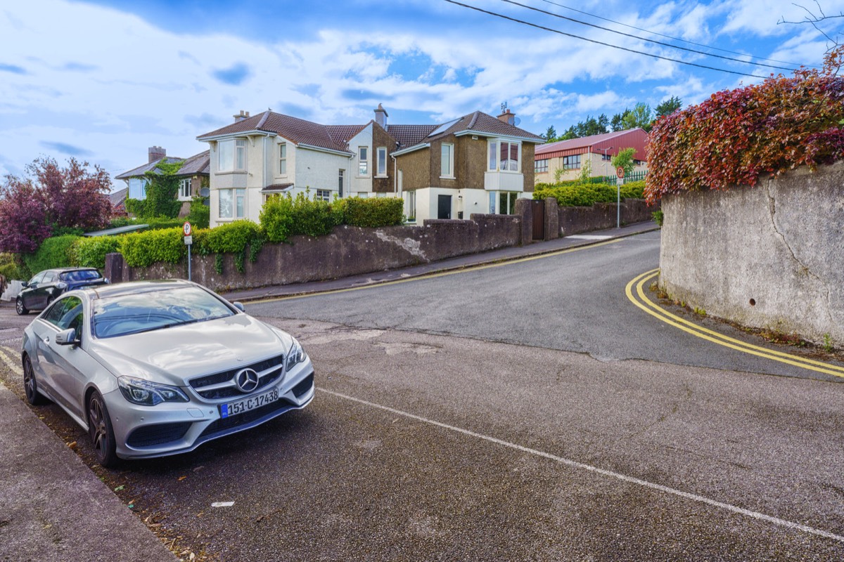
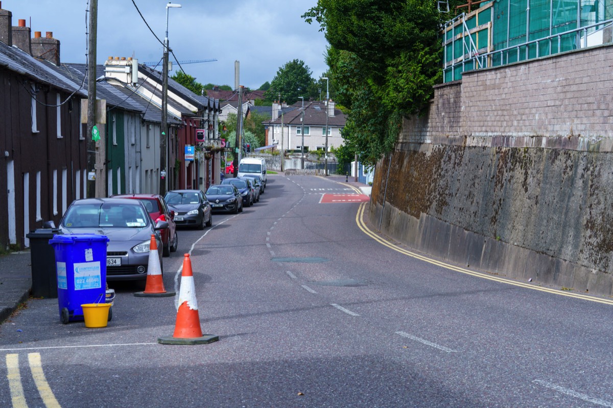
BLARNEY STREET
-

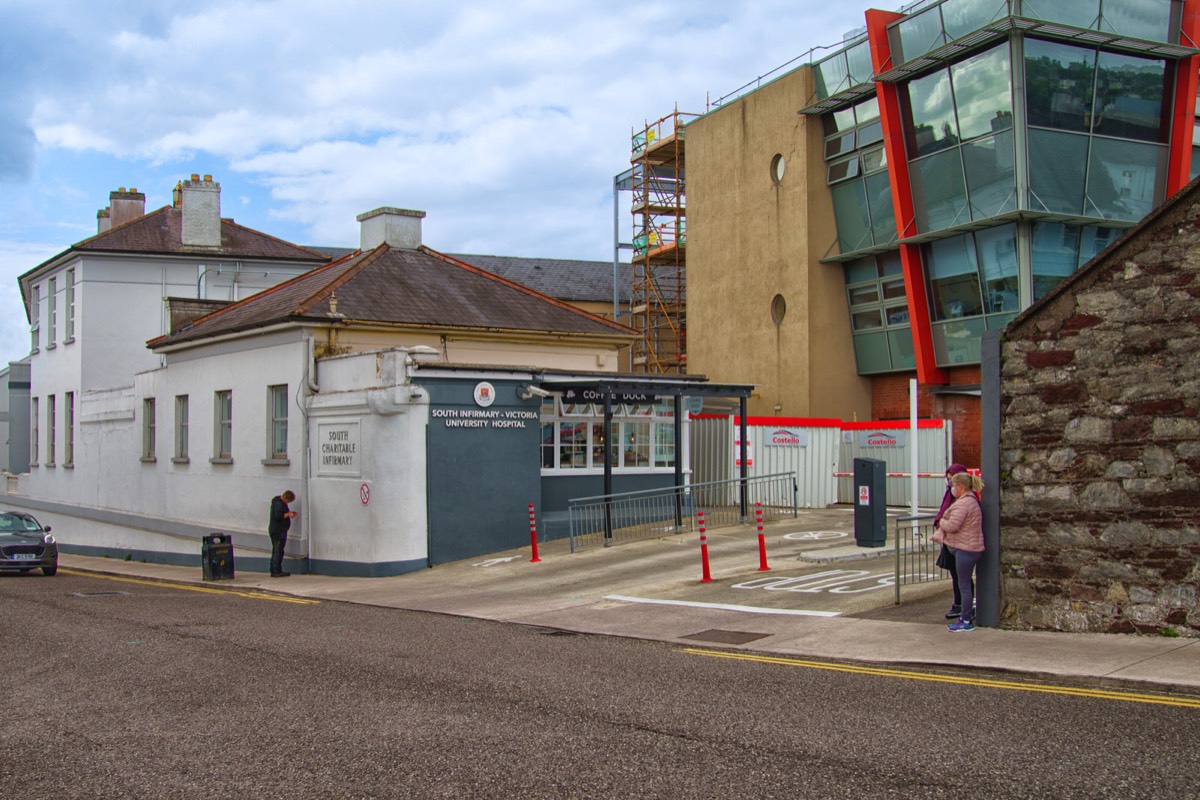
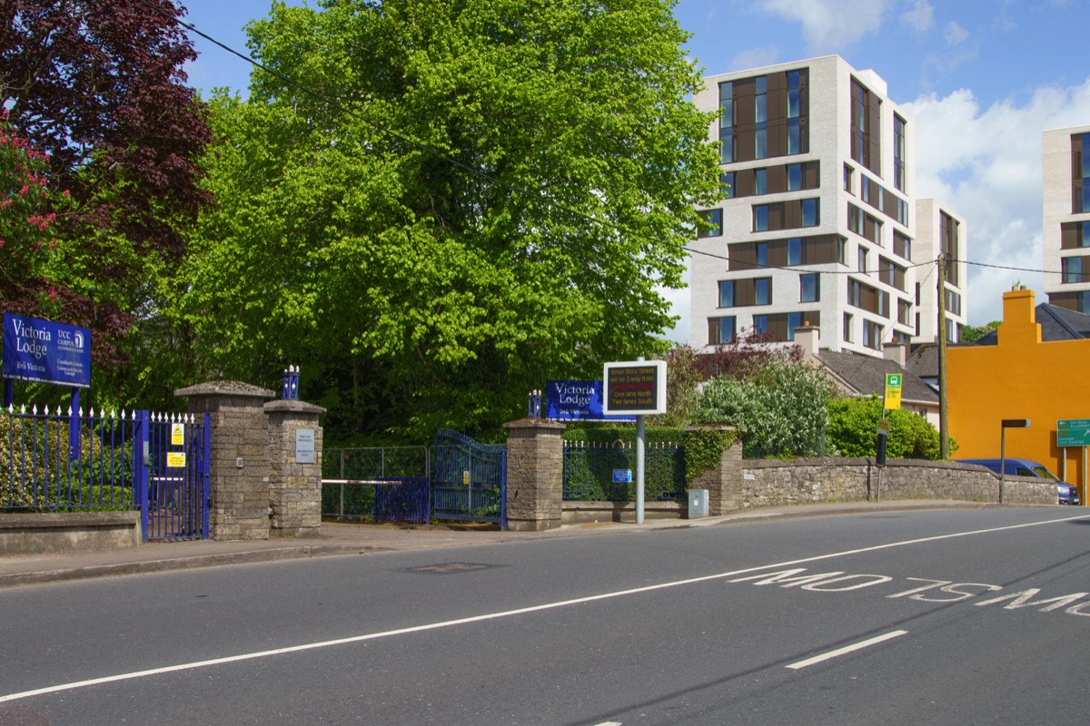
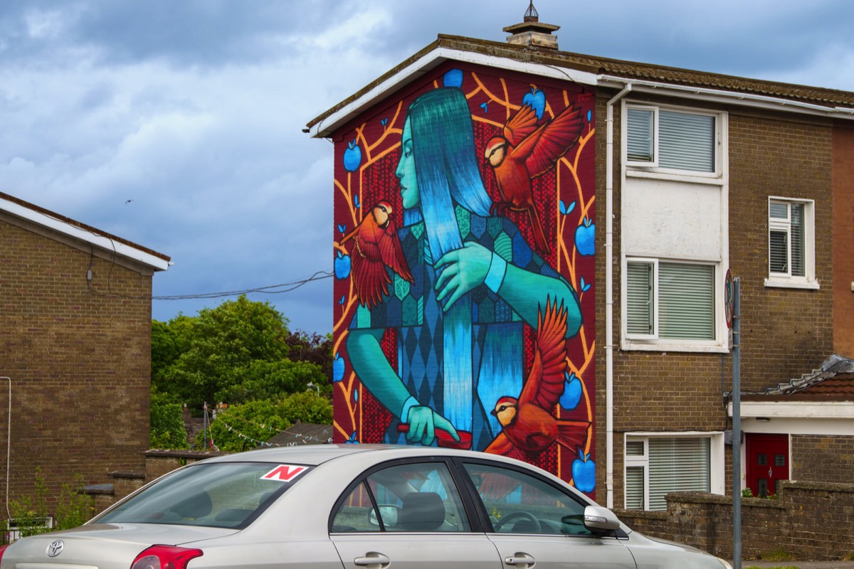
VICTORIA ROAD AREA
-

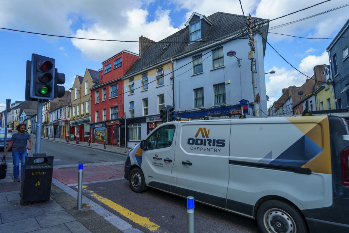
JOHN REDMOND STREET
-

BROWN'S SQUARE
-

OLIVER PLUNKETT STREET
-

SUMMERHILL NORTH
-

SUNDAY;S WELL ROAD
-

EAST ALBERT QUAY
-

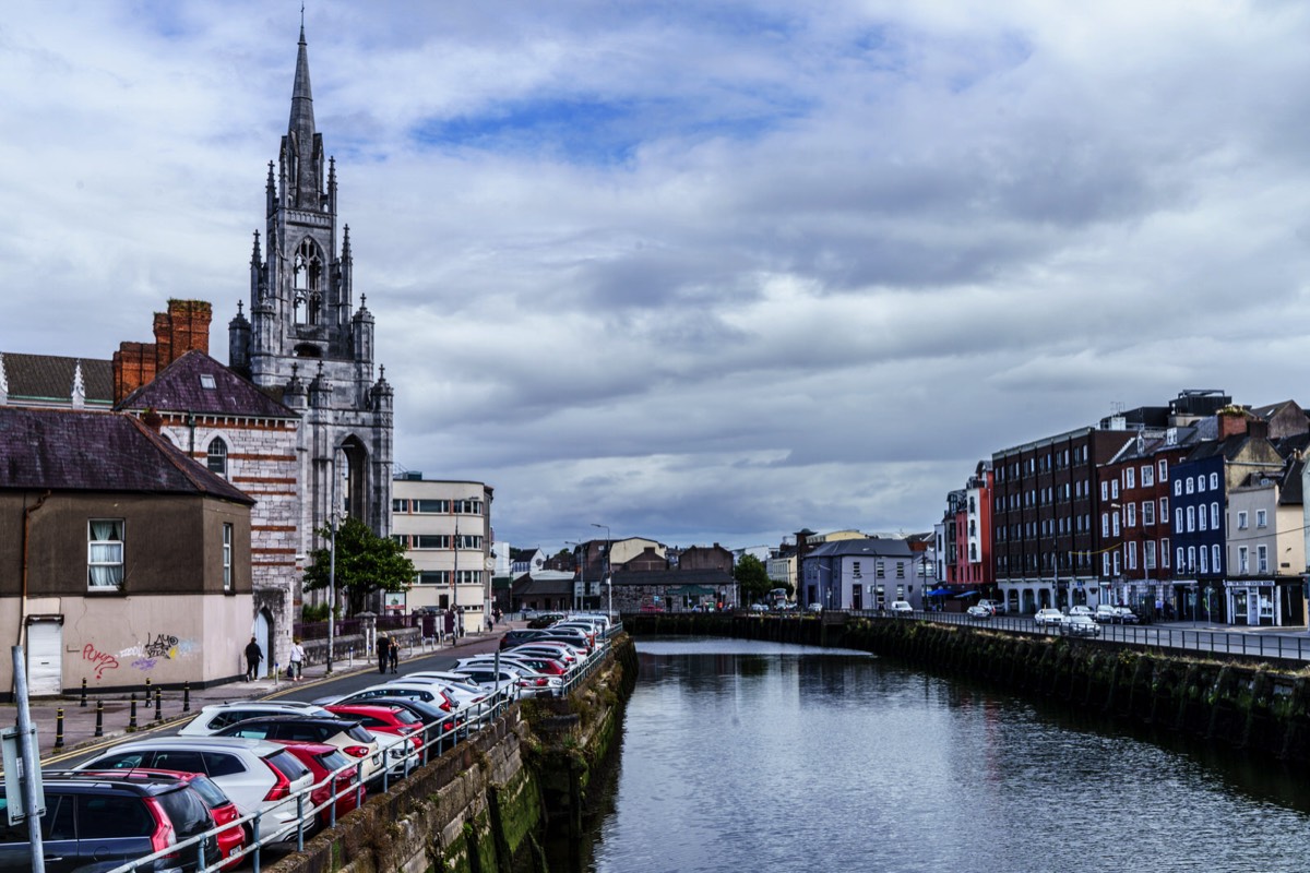
ST PATRICK'S QUAY
-

SOUTH MALL
-

FR. MATHEW STREET
-

PATRICK'S STREET
-

PARLIAMENT STREET
-

ACADEMY STREET
-

BLAIR'S HILL
-

WELLINGTON ROAD 2019
-

RICHMOND HILL
-

ST LUKE'S CROSS
-

FEVER HOSPITAL STEPS
-

SHANDON COURT
-

CAMDEN PLACE
-

RAILWAY STREET 2011
-

ANDERSON'S QUAY
-

MacCURTAIN STREET
-

HORGAN'S QUAY 2018
-

HORGAN'S QUAY 2011
-

PENROSE QUAY
-

FR MATHEW QUAY
-

PEMBROKE STREET
-

SAWMILL STREET
-

NORTH MAIN ST
-

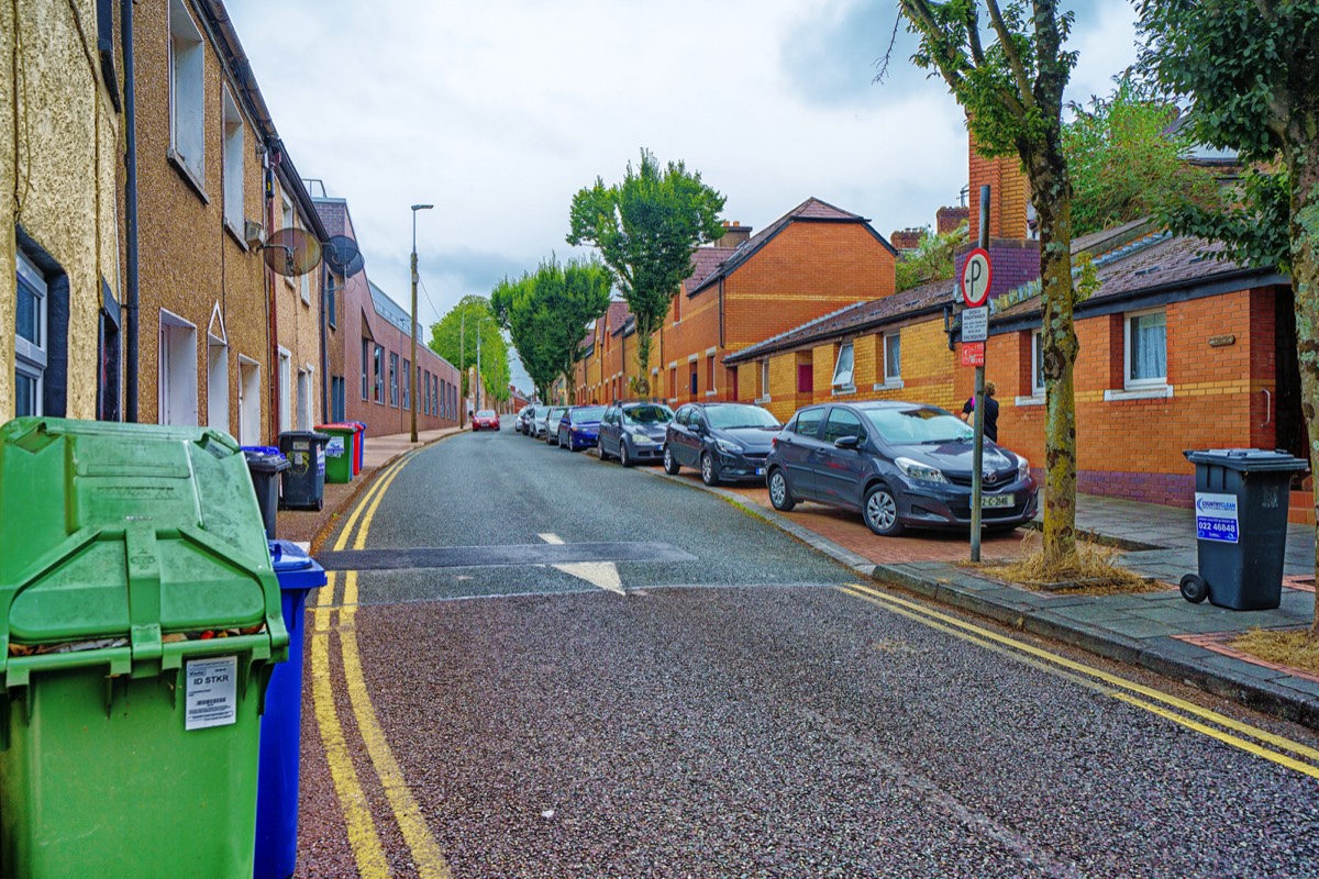
EVERGREEN STREET
-

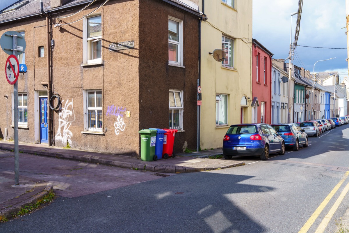
RED ABBEY STREET


The original dyke was constructed in 1719 by Edward Webber, the city clerk, who owned what were then marshy islands west of the walled city. He drained and landscaped the area, building a dyke topped by a straight promenade leading to a redbrick teahouse in Dutch style. The area became fashionable and the promenade was dubbed the Red House Walk or Meer Dyke Walk after the Meer Dyke in Amsterdam. Dutch influence was strong among the Protestant Ascendancy in the decades after the Williamite War in Ireland.
After Webber's death the land was bought and further developed by future mayor James Morrison. The route of the promenade corresponds to the modern streets Dyke Parade and Mardyke Walk.
After Webber's death the land was bought and further developed by future mayor James Morrison. The route of the promenade corresponds to the modern streets Dyke Parade and Mardyke Walk.
It was misty and lighting was dull so the area looked somewhat dull and bleak when I visited
Holy Trinity Church, also known as Father Mathew Memorial Church, is a Roman Catholic Gothic Revival church and friary on Fr. Mathew Quay, on the bank of the River Lee in Cork. It belongs to the Order of Friars Minor Capuchin and is the only church dedicated to Father Theobald Mathew.
A number of archaeological excavations of the area have revealed the remains of houses which were Anglo-Norman in style, made mainly of timber and wattle. The building of houses from timber posed a fire risk, and declined after May 1622, when a lightning strike on North Main Street resulted in a loss of 1500 houses in the city.
Rocque's map of Cork of 1759 is the first to show significant housing in the Turners Cross area in the areas that are now Evergreen Street (then Maypole Lane) and Quaker Road (then Graveyard Lane). Previous maps of Cork in 1690 and 1726 show only occasional houses associated with what were then farms on the southern edge of the city. The oldest housing still existing in Turners Cross now dates from the mid 19th century.
Historically Wellington Road was a relatively affluent residential area with many large houses. At the eastern end of the street, some of the houses were associated with the nearby Victoria Barracks. In the mid 20th century, many of the area's houses were sub-divided into offices or flats - a process that was somewhat reversed by the late 20th century.
Shandon Street,formerly known as Mallow Lane, is a street in the Shandon area of Cork City, Ireland and is a retail area on the North-Side of Cork city.
The Red Abbey in Cork, Ireland was a 14th-century Augustinian abbey which took its name from the reddish sandstone used in construction. Today all that remains of the structure is the central bell tower of the abbey church, which is one of the last remaining visible structures dating to the medieval walled town of Cork.
You will find links to buy products from Amazon, Google and other partners. If you click on these links, you’ll find that the URL includes a small extra piece of text which identifies that the click came from my websites. This text is an affiliate code, and it means that I get a small percentage of the money you spend if you choose to buy that product, or, in some cases, other products from the site soon after. These affiliate links help pay the costs of producing my websites and ensure that the content is free to you.