RATHFARNHAM AREA OF DUBLINPHOTOGRAPHED BY WILLIAM MURPHY
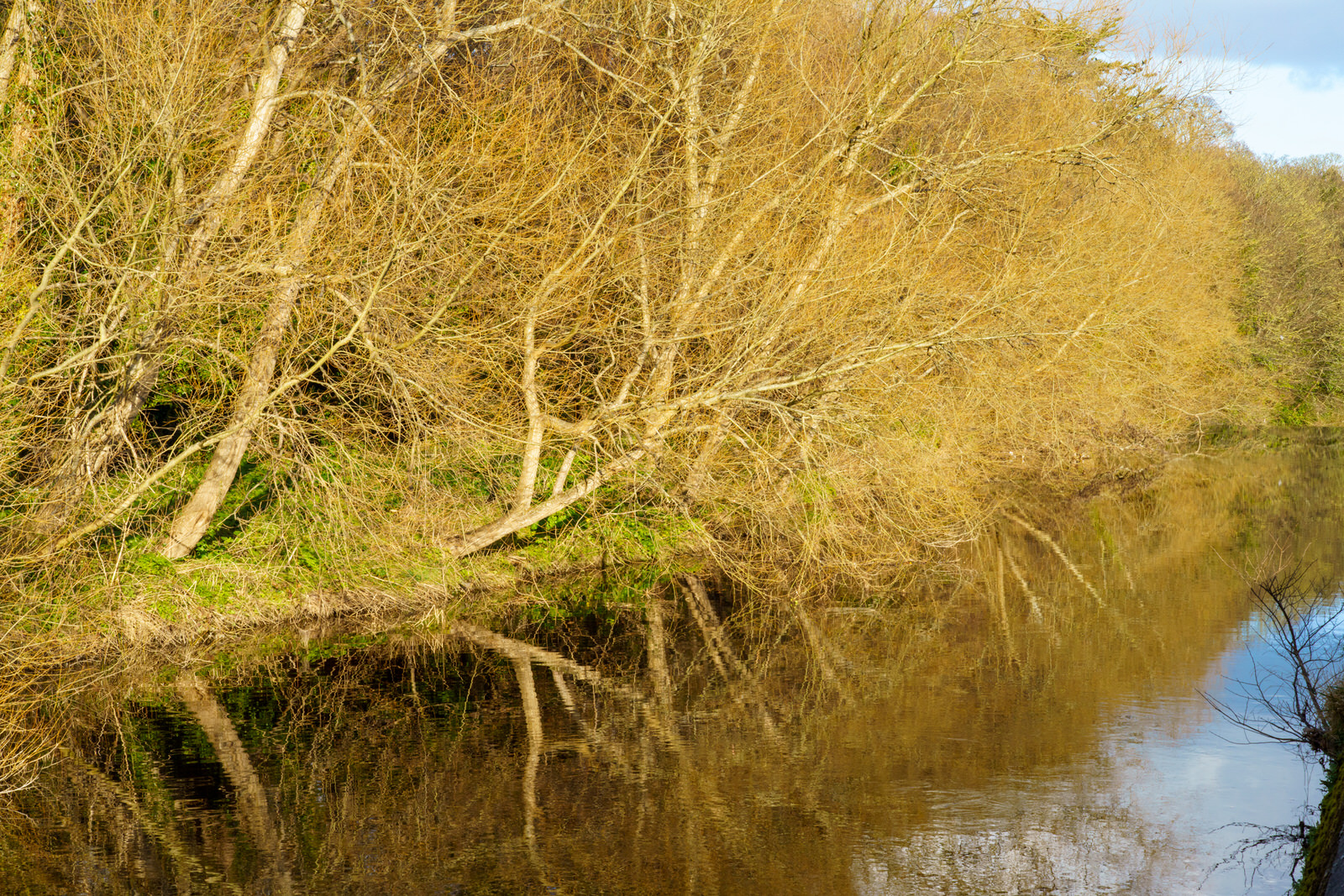
THE DODDER WALK FROM ORWELL ROAD TO RATHFARNHAM ROAD
Today I surprised myself when I discovered that I was in Rathfarnham Village. I must admit that I had thought that the area surrounding the Yellow House Pub was Rathfarnham Village.
I was in Bushy Park and left it via the new pedestrian bridge bridge which lead to Dodder View Road. I looked up and noticed a church tower at the top of the hill across the road and as I did not know what church it was I decided to investigate. I walked up Church Lane only to arrive at the main street in Rathfarnham, a street that I have never visited before.
Rathfarnham Protestant Parish Church on the Main Street was built in 1795 to replace the church in the old graveyard. Beside the church is the old schoolhouse that dates from early in the nineteenth century. Immediately adjoining is Church Lane at the corner of which is a bank built on the site of a Royal Irish Constabulary barracks that was burned down by Anti-Treaty IRA forces in September 1922 during the Irish Civil War. In the lane is an old blocked up doorway of an early eighteenth-century type. Church Lane leads to Woodview cottages, which are built partly on the site of an old paper mill. The mill race previously mentioned passed under Butterfield Lane to the paper mill and continued on below Ashfield to turn the wheel of the Ely Cloth Factory. It was later turned into the Owen Doher River at Woodview Cottages. Until recently, when the new road was made to Templeogue, the old mill race could still be traced through the grounds of Ashfield where its dry bed was still spanned by several stone bridges.
The paper mill, of which some old walls and brick arches still survive, has been described as the oldest in Ireland but there does not appear to be any evidence to support this. The earliest reference to a paper mill here is 1719 when William Lake of Rathfarnham presented a petition for financial aid but we hear of one at Milltown as far back as 1694. In 1751 William and Thomas Slater whose works were destroyed by fire in 1775 made paper here. Archer's survey of 1801 mentions two paper mills here, Freemans and Teelings, and both Dalton in 1836 and Lewis in 1837 state that one paper mill was still working and from 1836 to 1839 the name Henry Hayes, Rathfarnham Mill appears in the directories. If this can be identified with the mill at Woodview cottages it must have become idle soon afterwards as it is designated "Old Mill" on the 1843 edition of the O.S. map. In 1854 when this mill had neither water wheel nor machinery an attempt was made to re-open it for the manufacture of paper but it came to nothing. The mill race has now been completely removed to make way for a housing development.
At the end of the main street, on the right, the road to Lower Rathfarnham passes the site of the earliest Constabulary barracks. This closed down in 1890 when the establishment was transferred to a house named Leighton Lodge near Loreto Abbey.
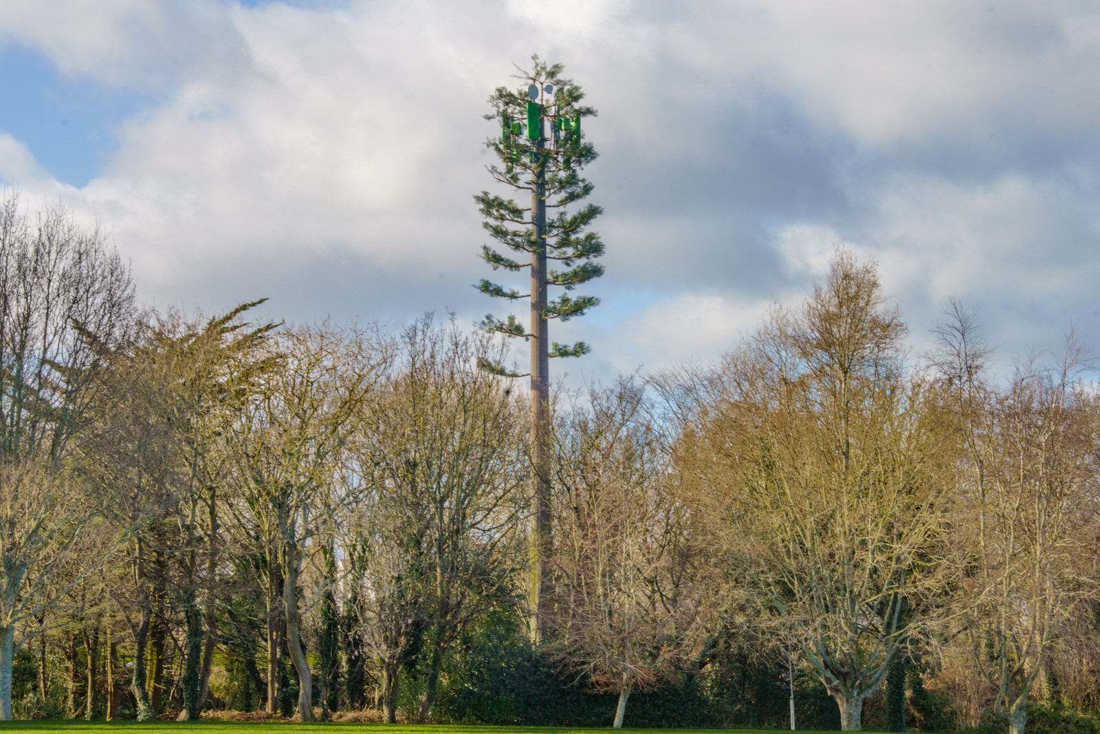
A FAKE FIR TREE AT ST ENDA'S PUBLIC PARK
As I walking in a Southside public park a "weird" tree immediately caught my attention.
Recently I came across the following comment which applied to the USA: "Over the past few decades, as cellphone networks have grown, thousands of antenna towers designed to look vaguely like trees have been built across the United States. Although these towers are intended to camouflage a tower's aesthetic impact on the landscape, they typically do the opposite: most look like what an alien from a treeless planet might create if told to imagine a tree."
A cell site, cell tower, or cellular base station is a cellular-enabled mobile device site where antennas and electronic communications equipment are placed—typically on a radio mast, tower, or other raised structure—to create a cell (or adjacent cells) in a cellular network. The raised structure typically supports antenna and one or more sets of transmitter/receivers transceivers, digital signal processors, control electronics, a GPS receiver for timing (for CDMA2000/IS-95 or GSM systems), primary and backup electrical power sources, and sheltering.
In Global System for Mobile Communications (GSM) networks, the correct term is Base Transceiver Station (BTS), and colloquial synonyms are "mobile phone mast" or "base station". Multiple cellular providers often save money by mounting their antennas on a common shared mast; since separate systems use different frequencies, antennas can be located close together without interfering with each other. Some provider companies operate multiple cellular networks and similarly use colocated base stations for two or more cellular networks, (CDMA2000 or GSM, for example).
Some cities require that cell sites be inconspicuous; they can be blended with the surrounding area or mounted on buildings or advertising towers. Preserved tree-scapes can often hide cell towers inside an artificial or preserved tree. These installations are generally referred to as concealed cell sites or stealth cell sites.
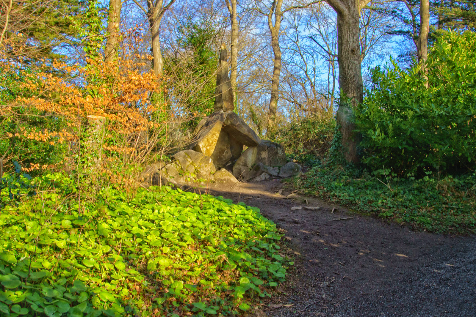
THE CROMLECH IS A FOLLY AT ST ENDA'S PUBLIC PARK
Follies come in all shapes and sizes and the Cromlech is no exception. Following an attack by vandals it had to be deconstructed in the late 1990s and for many years it looked like an unremarkable collection of stones on the ground. With the help of a drawings and photos, the Cromlech was restored to its original glory. Walking by the Cromlech at weekends children can be seen playing around it, posing for photographs and generally enjoying climbing on it.
A cromlech is a megalithic construction made of large stone blocks. The word applies to two different megalithic forms in English, the first being an altar tomb (frequently called a "dolmen"), as William Borlase first denoted in 1769. The second meaning of the name "cromlech" in English refers to large stone circles such as those found among the Carnac stones in Brittany, France.
Unlike in English, the word "cromlech" in many other languages (such as Azerbaijani, Armenian, French, Greek, Indonesian, Italian, and Spanish) exclusively denotes a megalithic stone circle, whereas the word "dolmen" is used to refer to the type of megalithic altar tomb sometimes indicated by the English "cromlech". Also, more recently in English, scholars such as Aubrey Burl use "cromlech" as a synonym for "megalithic stone circle".
THE HERMIT'S CAVELARGER THAN I HAD EXPECTED
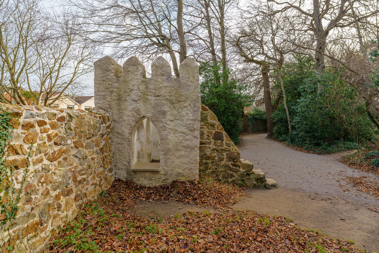
The Hermit’s Cave is a much bigger construction than I expected. Described as a large walk in but ‘mind your head’ chamber with room for 4/5 adults standing. The remains of a castellated effect to the roof at the front was restored and stonework repaired.
A few weeks ago I visited St Enda's Park but I did not get the opportunity to visited all the follies located there. Today, 10 February 2022, I visited with the the intention of photographing all the follies that I could locate.
THE SUMMER HOUSEALSO KNOWN AS THE WATCH TOWER
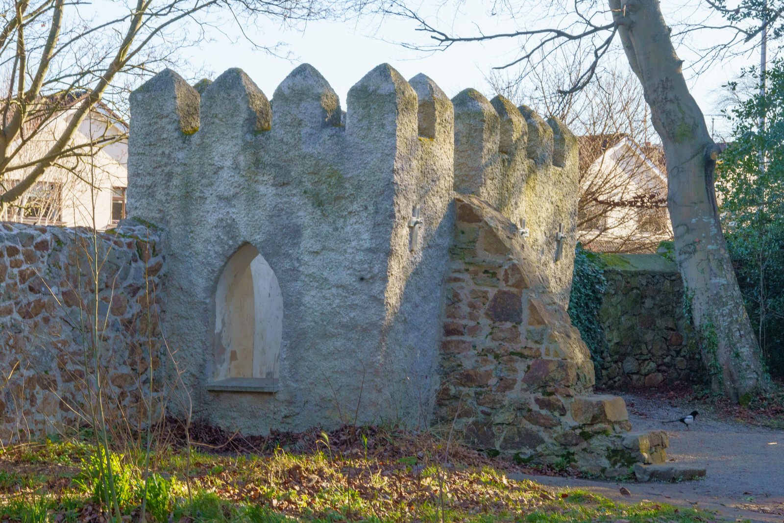
The "Summer House" was Built to look like a small castle or tower, this building originally had a stairs which allowed visitors to go up on its roof and see the impressive views of Dublin city below.
A few weeks ago I visited St Enda's Park but I did not get the opportunity to visited all the follies located there. Today, 10 February 2022, I visited with the the intention of photographing all the follies that I could locate.
Built to look like a small castle or tower, this building originally had a stairs which allowed visitors to go up on its roof and see the impressive views of Dublin city below.
THE STAIR TOWERTHE FOLLIES OF ST. ENDA'S PARK
I have noticed that a few accounts refer, in error, to the Summerhouse as the Tower.
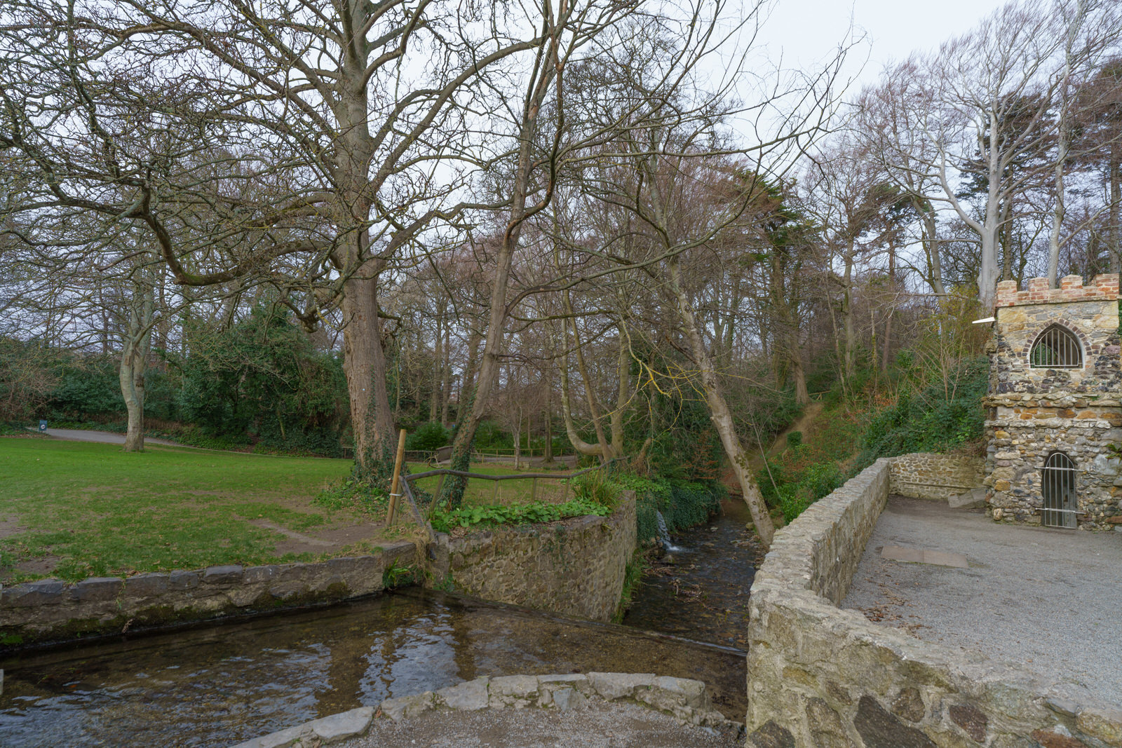
The folly by the Whitechurch stream is known as the Tower or the Temple. It is a decorative building with a practical purpose, an architectural device used to change levels from the lower path beside the pond to the upper path. Originally there was a third set of steps leading up to the rooftop viewing platform of the tower (now changed for safety reasons). During the renovation of the tower a lower/basement level was discovered that had contained a 19th pumping system which may have been used to pump water to the fountain in the nearby walled garden. From the far side of the stream there is a clear view of the different types of stone and the decorative way it is used on the building.
A Folly is a building constructed for, aesthetic pleasure, decoration on the landscape, entertainment, amusement and fun.
Throughout the late 18th and early 19th century follies were a fashionable addition to a garden or demesne. Major Doyne who was owner of the house in the 1860’s is said to have erected an obelisk in memory of the horse that carried him safely through battle in the Crimean war. Patrick Pearse moved his school, Scoil Éanna, to Rathfarnham in 1910 and seems to have been very taken with the idea of it being a ‘Hermitage’ and a retreat from the city, nestling in the foothills of the Dublin mountains.
The Hudsons actually went so far as to build a Hermit’s Cave, complete with mysterious arcane carvings and a secluded stone seat for contemplation. In June 1913 Pearse began a series of articles in the Irish Freedom newspaper which he entitled “From A Hermitage”. He began by saying “I have only two qualities in common with the real (or Imaginary) hermit who once lived (or did not live) in this place: I am poor and I am merry”. The articles were published monthly, with the final one appearing in January 1914. In them Pearse reflected on the current state of Ireland and what Irish people needed to do to obtain their freedom.
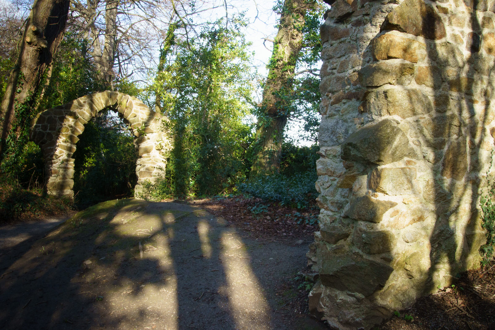
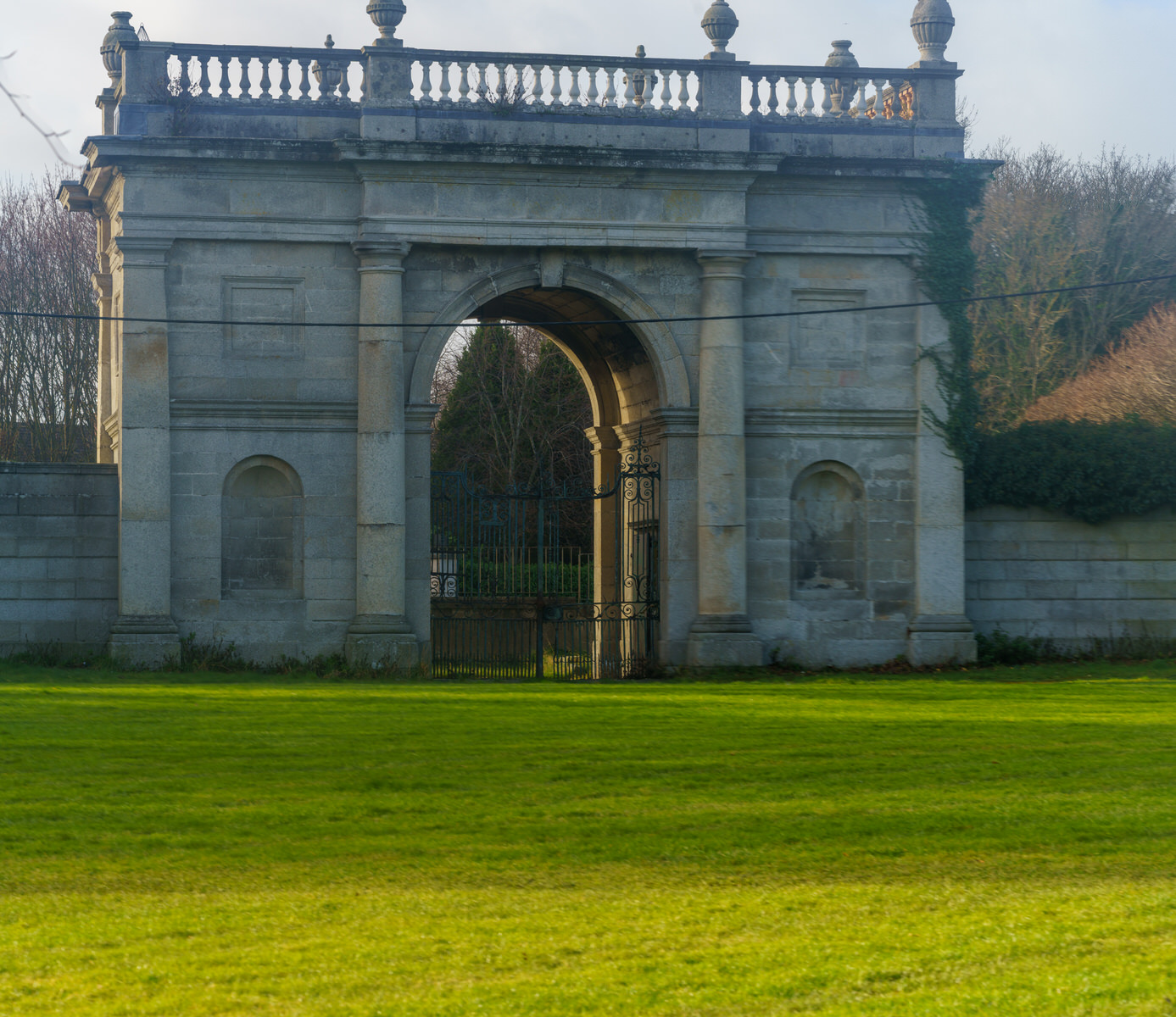
ELY ARCHORIGINAL ENTRANCE TO RATHFARNHAM CASTLE
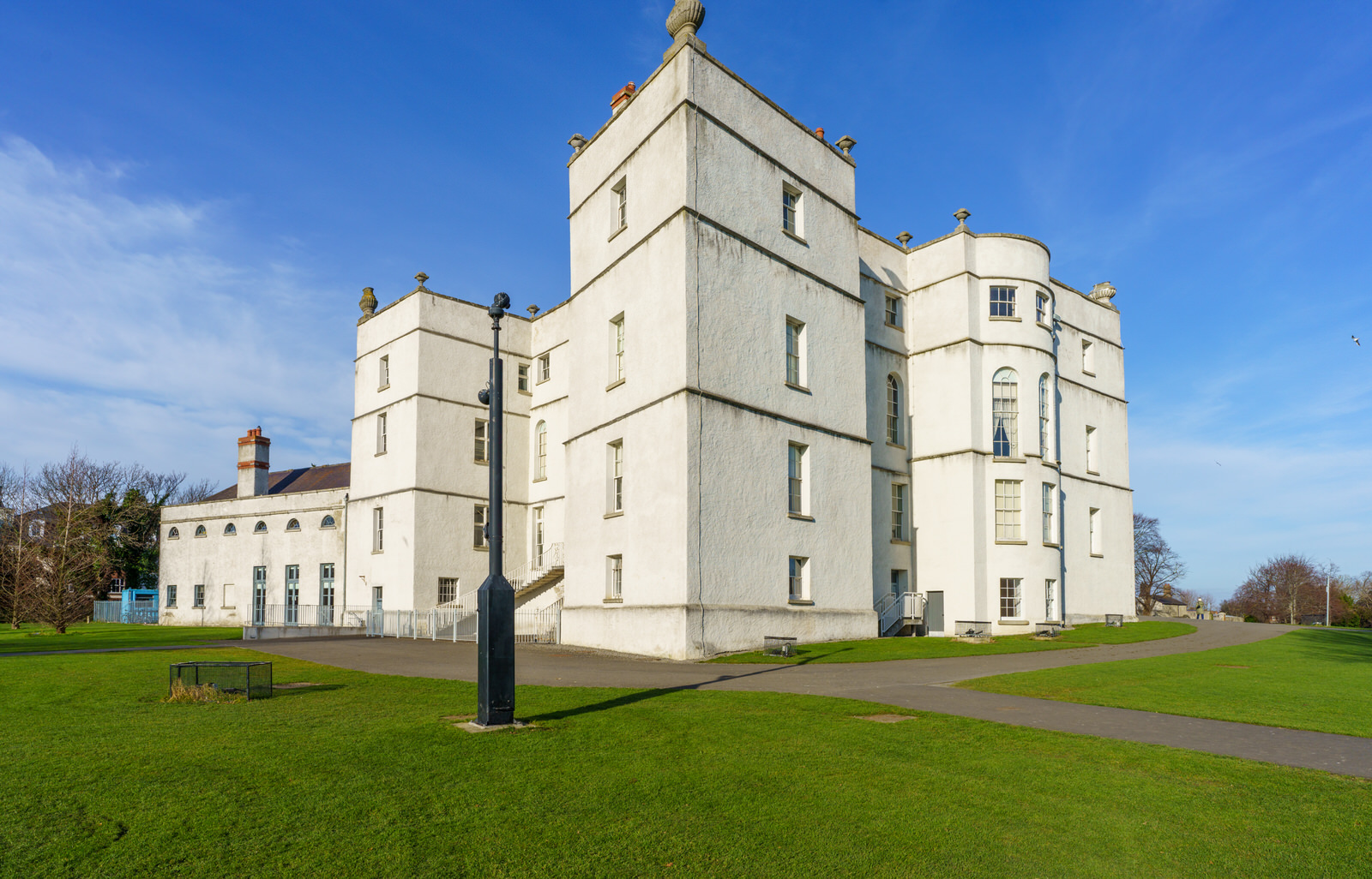
The earlier Irish castle was occupied by the Harold family, who held it as tenants of the le Bret family. It was replaced by the present building built on lands confiscated from the Eustace family of Baltinglass, to whom it had passed, because of their involvement in the Second Desmond Rebellion. The Geraldines defended the Pale from the Irish clans in the nearby Wicklow Mountains. It is believed the present castle was built around 1583 for Archbishop Adam Loftus. Originally a semi-fortified and battlemented structure it underwent extensive alterations in the 18th century.
The castle consisted of a square building four stories high with a projecting tower at each corner, the walls of which were an average of 5 feet (1.5 m) thick. On the ground level are two vaulted apartments divided by a wall nearly 10 feet (3.0 m) thick which rises to the full height of the castle. On a level with the entrance hall are the 18th century reception rooms and above this floor the former ballroom, later converted into a chapel.
Rathfarnham was described as a "waste village" when Loftus bought it. His new castle was not long built when in 1600 it had to withstand an attack by the Wicklow clans during the Nine Years' War.
The castle was sold to Delaware Properties in 1985 and it was feared that it was facing demolition. After immense public pressure to save the building, in 1987 it was purchased by the State and declared a National Monument. Currently the Office of Public Works is carrying out extensive refurbishment throughout the castle but it is still open to the public during the summer months (5 May - 12 October). The Castle is presented undergoing active conservation, where visitors can see at first hand tantalising glimpses of layers of its earlier existence uncovered during research.
RATHFARNHAM CASTLETHE ACTUAL BUILDING
The earlier Irish castle was occupied by the Harold family, who held it as tenants of the le Bret family. It was replaced by the present building built on lands confiscated from the Eustace family of Baltinglass, to whom it had passed, because of their involvement in the Second Desmond Rebellion. The Geraldines defended the Pale from the Irish clans in the nearby Wicklow Mountains. It is believed the present castle was built around 1583 for Archbishop Adam Loftus. Originally a semi-fortified and battlemented structure it underwent extensive alterations in the 18th century.
The castle consisted of a square building four stories high with a projecting tower at each corner, the walls of which were an average of 5 feet (1.5 m) thick. On the ground level are two vaulted apartments divided by a wall nearly 10 feet (3.0 m) thick which rises to the full height of the castle. On a level with the entrance hall are the 18th century reception rooms and above this floor the former ballroom, later converted into a chapel.
Rathfarnham was described as a "waste village" when Loftus bought it. His new castle was not long built when in 1600 it had to withstand an attack by the Wicklow clans during the Nine Years' War.
The castle was sold to Delaware Properties in 1985 and it was feared that it was facing demolition. After immense public pressure to save the building, in 1987 it was purchased by the State and declared a National Monument. Currently the Office of Public Works is carrying out extensive refurbishment throughout the castle but it is still open to the public during the summer months (5 May - 12 October). The Castle is presented undergoing active conservation, where visitors can see at first hand tantalising glimpses of layers of its earlier existence uncovered during research.
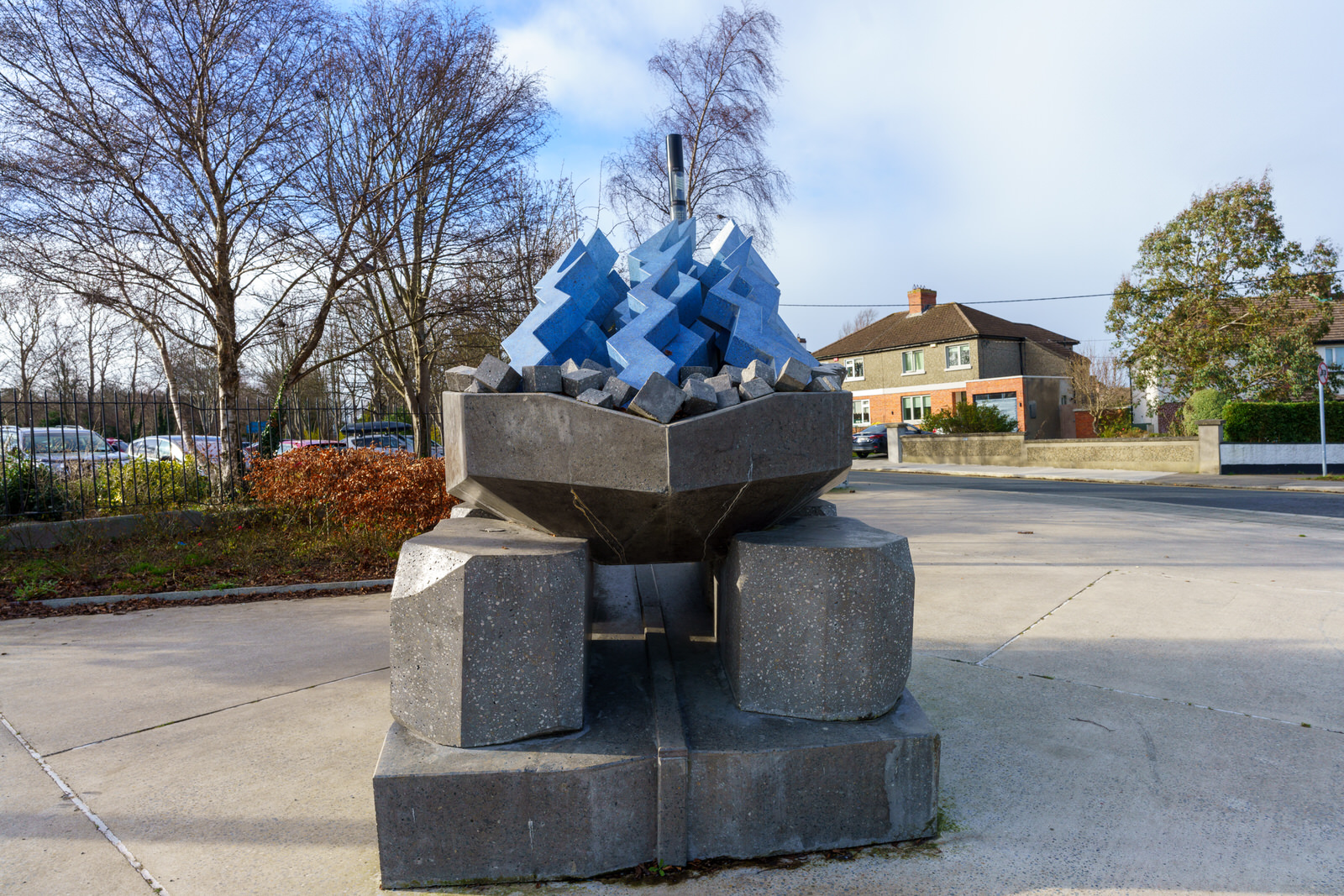
BREAKING EMMET'S BLOCKPUBLIC ART AT ST ENDA'S PUBLIC PARK
The public artwork is approximately 2m high and 1m x 1.5m metres wide at the base. It is cast from coloured concrete around a steel armature and was designed by artist Alice Rekab and commissioned by South Dublin County Council, is a new focal point at the historic home and Irish language school of Patrick Pearse, the leader of 1916 Rising.
Ms Rekab explains: “Robert Emmets Block is of interest to me as it forms a joint site of both Emmets untimely execution and the historic signature table for the first Irish government bonds – symbolizing how we built upon revolutionary sacrifice to construct a new state for the Irish people. The Breaking Emmet’s Block sculpture acts as a contemporary continuation of both Pearse’s commemoration of heroes and the playful twist his pageantry brought to the romantic idealism that was so central to the culture of St. Enda’s.”
Ms Rekab says the materials bring “a futuristic twist to a brutalist aesthetic inspired by the monuments or Spomenik structures found across multiple commemorative sites in the former Yugoslavia.”
She explains that Robert Emmet’s Block “draws through lines between the socialist ideals of the Irish free state and their remnants in the contemporary Irish psyche”.
THE SUMMER HOUSE AT ST ENDA'S PARK OFTEN REFERRED TO AS THE WATCHTOWER
I HAVE SEEN THIS DESCRIBED AS THE WATCH TOWER - THE SUMMER HOUSE AT ST ENDA'S PARK
Built to look like a small castle or tower, this building originally had a stairs which allowed visitors to go up on its roof and see the impressive views of Dublin city below.
St Enda's was not always a public park. Patrick Pearse, one of the leaders of the Easter Rising in 1916 ran a school there, St Enda's School (or Scoil Éanna in Irish), in The Hermitage. This magnificent house was built in 1780 for the Dublin dentist Edward Hudson. Pearse, who was a teacher at the time, bought the building in 1910 as his school in Ranelagh was getting too small. Pearse considered the site ideal as his curriculum had a heavy emphasis on nature.
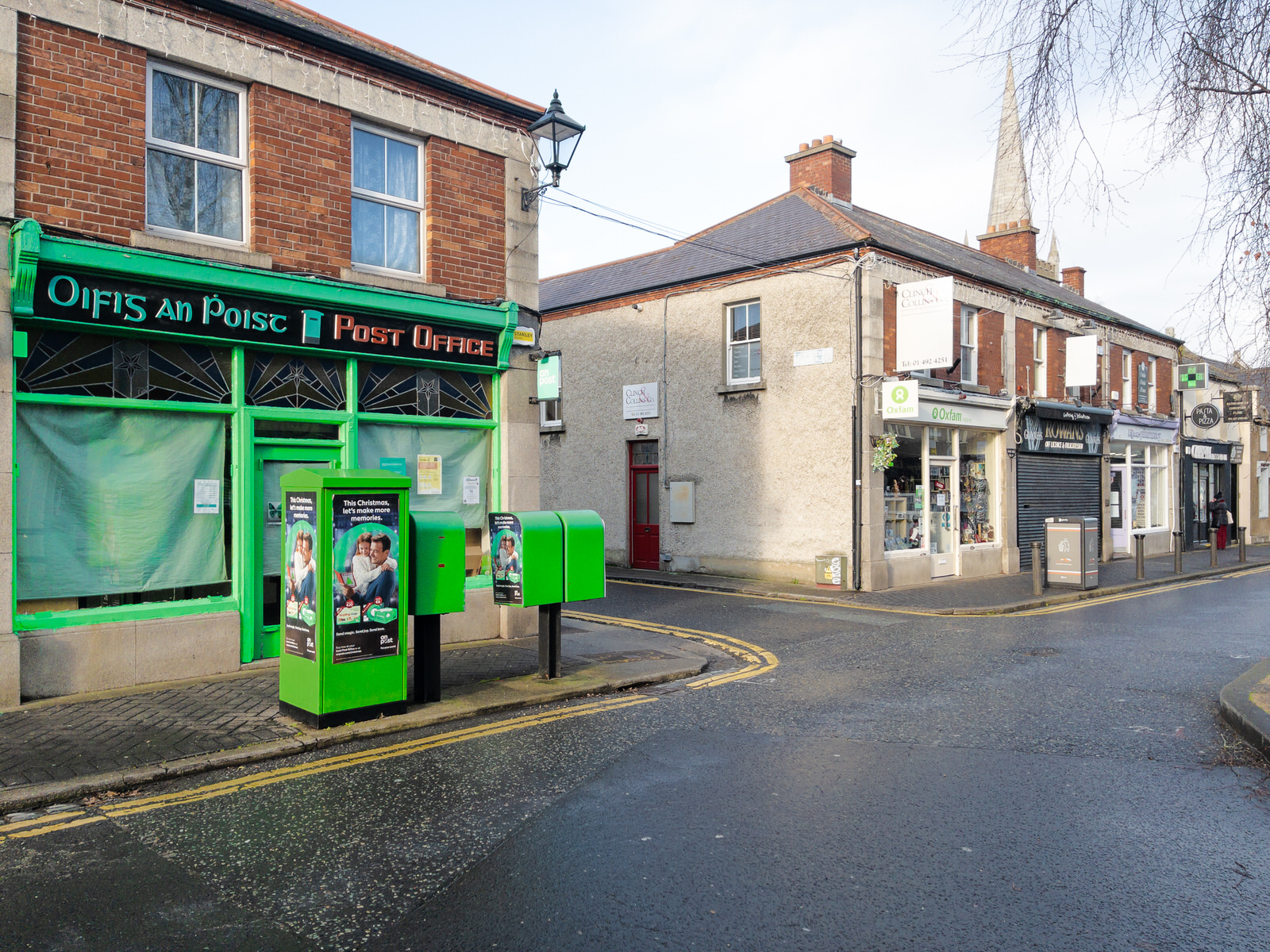
ATTRACTIVE POST OFFICE RATHFARNHAM VILLAGE
Today I surprised myself when I discovered that I was in Rathfarnham Village. I must admit that I had thought that the area surrounding the Yellow House Pub was Rathfarnham Village.
I was in Bushy Park and left it via the new pedestrian bridge bridge which lead to Dodder View Road. I looked up and noticed a church tower at the top of the hill across the road and as I did not know what church it was I decided to investigate. I walked up Church Lane only to arrive at the main street in Rathfarnham, a street that I have never visited before.
Rathfarnham Protestant Parish Church on the Main Street was built in 1795 to replace the church in the old graveyard. Beside the church is the old schoolhouse that dates from early in the nineteenth century. Immediately adjoining is Church Lane at the corner of which is a bank built on the site of a Royal Irish Constabulary barracks that was burned down by Anti-Treaty IRA forces in September 1922 during the Irish Civil War. In the lane is an old blocked up doorway of an early eighteenth-century type. Church Lane leads to Woodview cottages, which are built partly on the site of an old paper mill. The mill race previously mentioned passed under Butterfield Lane to the paper mill and continued on below Ashfield to turn the wheel of the Ely Cloth Factory. It was later turned into the Owen Doher River at Woodview Cottages. Until recently, when the new road was made to Templeogue, the old mill race could still be traced through the grounds of Ashfield where its dry bed was still spanned by several stone bridges.
The paper mill, of which some old walls and brick arches still survive, has been described as the oldest in Ireland but there does not appear to be any evidence to support this. The earliest reference to a paper mill here is 1719 when William Lake of Rathfarnham presented a petition for financial aid but we hear of one at Milltown as far back as 1694. In 1751 William and Thomas Slater whose works were destroyed by fire in 1775 made paper here. Archer's survey of 1801 mentions two paper mills here, Freemans and Teelings, and both Dalton in 1836 and Lewis in 1837 state that one paper mill was still working and from 1836 to 1839 the name Henry Hayes, Rathfarnham Mill appears in the directories. If this can be identified with the mill at Woodview cottages it must have become idle soon afterwards as it is designated "Old Mill" on the 1843 edition of the O.S. map. In 1854 when this mill had neither water wheel nor machinery an attempt was made to re-open it for the manufacture of paper but it came to nothing. The mill race has now been completely removed to make way for a housing development.
At the end of the main street, on the right, the road to Lower Rathfarnham passes the site of the earliest Constabulary barracks. This closed down in 1890 when the establishment was transferred to a house named Leighton Lodge near Loreto Abbey.
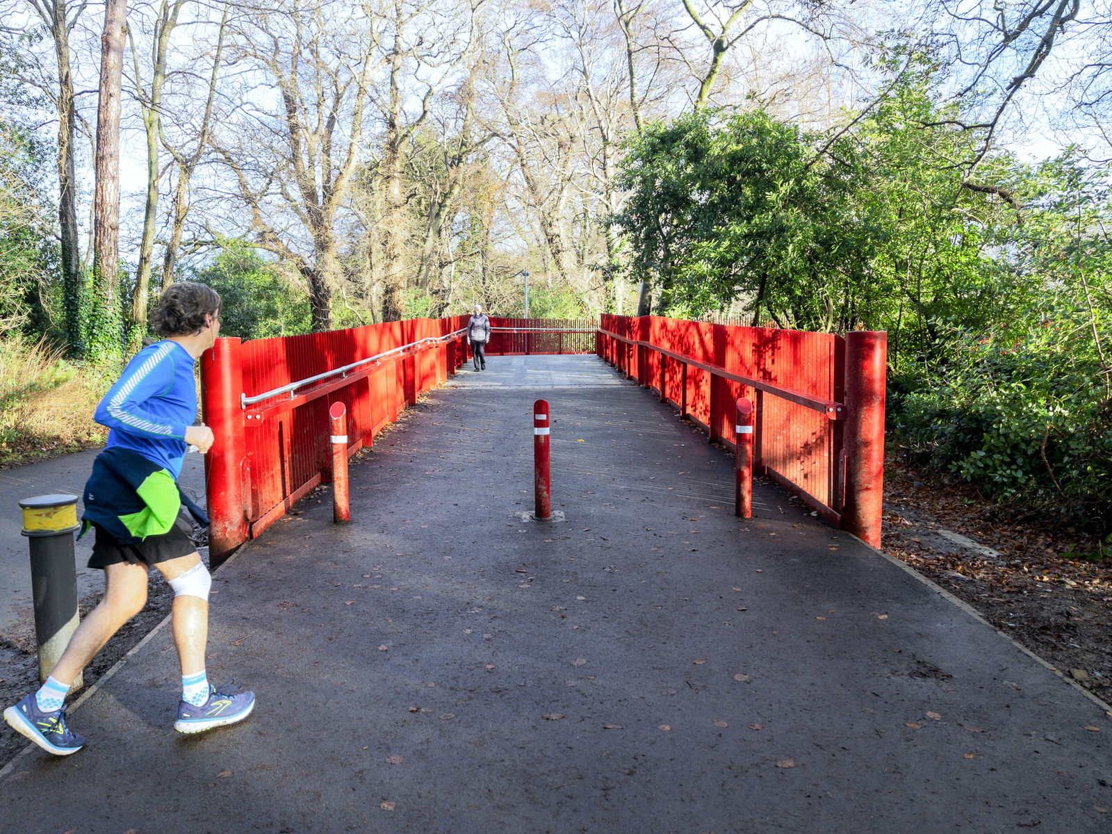
NEW PEDESTRIAN BRIDGE ACROSS THE DODDERBUSHY PARK
The Dodder Valley is the latest section of public land to be developed into a greenway for pedestrians and cyclists and to the best of my knowledge there are three pedestrian bridges. One of the bridges is located in Rathfarnham and crosses the Dodder from Dodder View Road into Bushy Park.
Approximately 14km in length, the greenway travels along the Dodder Valley from Orwell/Terenure, through to the outer suburbs of Tallaght and up into the rural and upland community to the entrance of the Bohernabreena reservoir at Glenasmole.
The scheme includes a number of elements, including the widening and upgrading of existing paths, bridges, underpasses and junctions – and the construction of new paths and bridges.
Improved landscape treatment is also on the cards alongside ecological enhancements including species rich grassland management, the planting of native trees and the provision of bat boxes and bat friendly public lighting.
New entrances to the greenway now exist.
The pedestrian bridges mentioned above are located over the River Dodder at the Tallaght Bypass and to the rear of the Bolbrook Enterprise Centre, which links the eastern part of Tallaght the N81 to the Greenway. The second bridge passes over the Dodder from Kilvere to Riverside cottages, linking Templeogue Village with the greenway park while the third bridge is the one shown in my photographs.
Commercial DisclosurePLEASE NOTE THAT LINKS BELOW MAY REDIRECT YOU TO THE AMAZON LOCATION MOST LIKELY TO SHIP TO YOUR ADDRESS
You will find links to buy products from Amazon, Google and other partners. If you click on these links, you’ll find that the URL includes a small extra piece of text which identifies that the click came from my websites. This text is an affiliate code, and it means that I get a small percentage of the money you spend if you choose to buy that product, or, in some cases, other products from the site soon after. These affiliate links help pay the costs of producing my websites and ensure that the content is free to you.

Zeiss Batis 85mm f/1.8 Lens for Sony E Mount, Black
I HAVE THIS AND THE 135mm LENS
VERSATILE FULL-FRAME LENS: The powerful lens for the mirrorless full-frame system of Sony fulfills the highest requirements. Despite its compact design, the image meets the expectations of professional photographers. EXCELLENT RESOLUTION AND HIGH CONTRAST: Richly saturated and vivid colours are a must in the creation of lasting impressions. However, stray light within an optical system leads to a lightening of the image that is particularly noticeable in the shadows. This reduces image contrast, with the result that exposures lack contrast and appear faded. To avoid this, ZEISS combines various specially developed technologies to reduce the undesirable effects of stray light. ROBUST AND WEATHERPROOF METAL CONSTRUCTION: Thanks to features that are designed to keep out dust and spray water, the lens is perfectly suited for critical outdoor conditions. It is also designed for many years of intensive use. SMOOTH AND RELIABLE AUTOFOCUS: The design of the autofocus system requires an extremely accurate shifting of particular lens groups. The focusing system of ZEISS lenses is designed to ensure a robust and smooth-running autofocus mechanism with the best imaging performance.
YOU SHOULD ALSO CONSIDER THE 25mm LENS
