PROGRESSIVE WEB APPLICATION VERSION
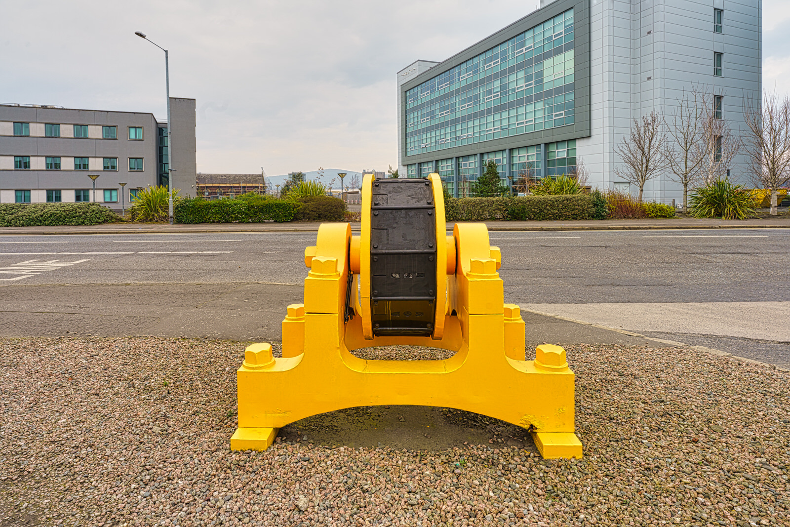
LAGANSIDE WALKWAYQUEEN'S BRIDGE TO ALBERT BRIDGE
SELECT IMAGES TO VIEW MORE PHOTOGRAPHS
I was on the Pottingers Quay side of the Lagan and was a bit surprised that all the bushes and trees had been removed in what someone, on Twitter, described as in a "brutal manner".
According to local media the Department for Infrastructure has removed a number of trees along the River Lagan as part of work on the Belfast Tidal Flood Alleviation Scheme and has said that more are likely to be chopped down.
The principal aim of the Belfast Tidal Flood Alleviation Scheme is to deliver a scheme of works that will provide a long term approach to tidal flood risk management for Belfast. The study area is from Belfast Lough to Stranmillis Weir, which is the extent of tidal influence on the River Lagan.
Preparatory works have commenced on the Belfast Tidal Flood Alleviation Scheme which include ground investigation and service identification works, and some early site clearance works to avoid the bird nesting season. Only the trees and shrubs necessary to gain access to execute the works will be removed and the majority of the site clearance works are being targeted now, to mitigate the potential impact particularly on nesting birds. These works are necessary to allow construction to commence in Spring 2022. Areas where trees and shrubs have to be removed to facilitate the works are to be reinstated with similar species where possible.
Belfast is at risk of flooding from a number of sources including tidal (the sea), fluvial (rivers) and surface water as a result of heavy rainfall. Tidal flood risk is of most concern, with approximately 560 residential and 460 non-residential properties currently at risk from a significant tidal event. DfI Rivers design standard for sea defences is to protect to the 1 in 200 year level with an appropriate increase in level (freeboard) to allow for uncertainties.
The impact of climate change causing sea level rise will increase the number of properties at risk to over 3400 (2640 Residential and 770 Commercial) by 2065 and over 7900 (6050 Residential and 1860 Commercial) by 2115.
As much of the city centre is between 1m to 2m below extreme tide levels, an extreme event would cause serious disruption to commerce, the transportation network, and the social fabric of the city. Any significant depth of tidal flooding within the city centre is likely to drain slowly as the capacity of the drainage network is exceeded. This also raises the likelihood of contamination as tidal flooding overwhelms and mixes with foul sewage and other contaminants. Flooding of the city centre is likely to cause major disruption for several days or even weeks, with increased clean-up and recovery consequences.
Flooding to the city centre in a 1 in 200 year event is estimated to affect an area in excess of 2km2 and will extend to the west as far as York Street, City Hall, and Adelaide Street and as far south as Ormeau Avenue.
The highest tidal surges recorded within Belfast Harbour have occurred within the past 20 years, most recently in early January 2014. This “near miss” flooding event, concerns over the numbers of “near misses” within a relatively short time period (the 5 highest tidal surges have been recorded since 1994), and the opportunity to build in a “flood risk element” to the York Street Interchange project are reasons why the Belfast Tidal flood risk study was commissioned by DfI Rivers.
The proposed scheme extends from Belfast Harbour to Stranmillis Weir and will comprise a number of different forms of both permanent and temporary flood defences. The line and type of these flood defences varies and will be subject to negotiations with a range of stakeholders as well as landowners such as Belfast City Council, the Department for Communities and the Belfast Harbour Commissioners along with private landowners. The height of the defences will also vary in relation to the surrounding ground level but will be of a consistent level in relation to the height above average sea level (Ordnance Datum).
The negative effects which can be caused by flooding are extensive and listed in the scheme detail below. However to demonstrate the scale of the economic benefits an extract from the feasibility report is included below.
Using standard flood damage analysis, over the 100 year life of the scheme the level of flood risk is estimated to cause damages valued today at approximately £250m. This value excludes the additional impacts as a consequence of long duration flooding and surcharge of the foul sewer system in the commercial centre of Belfast. It also excludes the impact on the local economy as a result of unproductive employment and loss of access which is estimated at an additional £87m (in accordance with economic national appraisal guidance).
A review of the scheme to take into consideration new DfI “Technical Flood Risk Guidance in Relation to Allowances for Climate Change in Northern Ireland” was undertaken as part of the outline design process. This review increased the design flood levels and subsequently the length, height and cost of the original scheme proposals. The inclusion of this new design criteria and the use of revised modelling data has resulted in an increase in the number of properties considered at risk. It is now estimated that there are currently 1103 residential and 430 non-residential properties at risk of flooding within Belfast from a significant tidal event. These figures increase to over 3900 (3023 Residential and 902 Commercial) by 2080 and over 7300 (5865 Residential and 1466 Commercial) by 2117 based on the application of climate change allowances.
A further review was undertaken to ensure that the proposed scheme provided protection against the predicted increases in sea level rise outlined within the UK Climate Change Projections (UKCP18) Report.
BELOW IS AN AUTOMATIC SLIDESHOW - THERE WILL BE A SLIGHT DELAY
Commercial DisclosurePLEASE NOTE THAT LINKS BELOW MAY REDIRECT YOU TO THE AMAZON LOCATION MOST LIKELY TO SHIP TO YOUR ADDRESS
You will find links to buy products from Amazon, Google and other partners. If you click on these links, you’ll find that the URL includes a small extra piece of text which identifies that the click came from my websites. This text is an affiliate code, and it means that I get a small percentage of the money you spend if you choose to buy that product, or, in some cases, other products from the site soon after. These affiliate links help pay the costs of producing my websites and ensure that the content is free to you.