Today I Explored Coliemore Road In Dalkey - Presented By The William Murphy - The Urban Cartographer
LET MISTER SCREEN ASSIST YOU
GLOBAL INDEXTHE CURRENT PHOTO DIARY
GO THEREThe Urban Cartographer
TECHNICAL STUFFMOBILE FRIENDLY AND FASTER
GO THEREExplore the history of Coliemore Road in Dalkey, from its roots as Dublin’s primary medieval harbour to its modern evolution as one of Ireland’s most sought-after coastal addresses, featuring Coliemore Harbour and Dillon’s Park.
MURALS BY SHANE SUTTON
SONY A7RVI
Today I Explored Coliemore Road In Dalkey - Presented By William Murphy - The Urban Cartographer - Sony A7RVI Photographed 16 September 2026
Today I Explored Coliemore Road In Dalkey
Author: William Murphy - The Urban Cartographer
|
15. Sep 2026
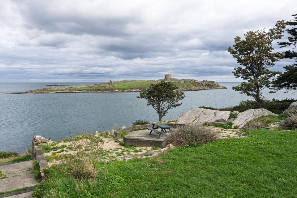
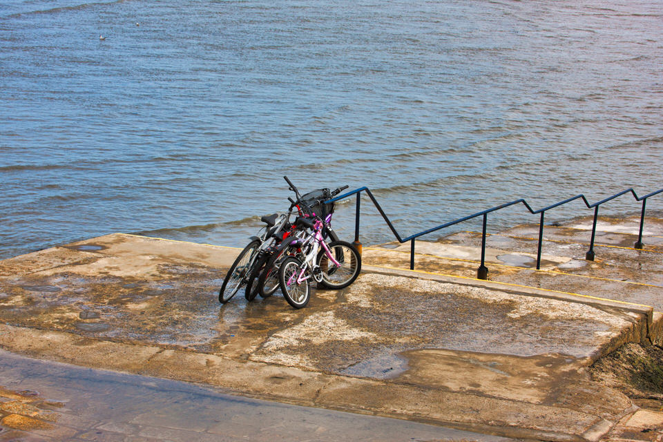
I Used A Sony A7RVI Coliemore Road hugs the rocky granite coastline of south Dublin, linking Dalkey village to Sorrento Point and looking out directly over the Dalkey Sound towards Dalkey Island. The name derives from the Irish Caladh Mór, meaning "Great Harbour" or "Large Landing Place" (caladh = port/haven/ferry landing, mór = great or big). It stands in historical contrast to Bullock Harbour further north and nearby Coliebeg (Caladh Beag, "Small Landing Place"), distinguishing the primary deep-water inlet from the smaller creeks along the Dalkey foreshore. Coliemore Road evolved from a coastal cart track connecting the medieval port to inland settlements into one of Ireland’s most exclusive residential addresses. Victorian and Edwardian Expansion: The opening of the Dublin and Kingstown Railway extension to Dalkey in the mid-19th century transformed the area from a working maritime fringe into a fashionable seaside retreat. Affluent merchants and professionals built Italianate villas, Arts and Crafts retreats, and mock-Gothic mansions arranged to capture sea views. The Modern Remodelling Phenomenon: In recent decades, the road has gained a reputation for high-value architectural reinvention. Buyers regularly acquire period properties for multi-million-euro sums, drawn to their historic character and direct water frontage, only to spend equivalent or greater amounts re-engineering them. Because many villas occupy tight plots perched on granite cliffs, renovations frequently involve extensive subterranean excavations, cliff-face underpinning, and structural glass rear extensions framing Dalkey Island. This tension between preserving Victorian character and adding modern open-plan luxury has made Coliemore Road a regular subject of notable architectural commissions and planning debates. Though modest in scale today, Coliemore was the primary medieval port of Dublin from the 14th to the late 16th century. The River Liffey's estuary was severely silted and barred by dangerous sandbanks, preventing heavily laden merchant ships from sailing into Dublin city centre. Ships anchored in the deep, sheltered waters of the Dalkey Sound. Cargoes were lightered ashore at Coliemore Harbour and hauled overland by packhorses and carts into the city. The seven fortified medieval castles/tower houses in Dalkey village were constructed largely to secure these landed goods against raiders. Coliemore declined as a commercial hub in the 17th and 18th centuries following modern dredging of Dublin Port and the construction of the Great South Wall, before being bypassed entirely by Kingstown (Dún Laoghaire) Harbour in the 19th century. Today, it operates as a working slipway for small lobster skiffs and the passenger ferry across the Sound to Dalkey Island. Directly adjoining Coliemore Harbour is Dillon's Park, a modest green lung gifted to the public in the late 19th century. Dedicated to the memory of local nationalist politician and land reformer John Blake Dillon (co-founder of The Nation and the Young Ireland movement), the park provides public coastal access along a shoreline otherwise dominated by private sea-facing properties. Framed by low stone walls and wind-pruned coastal vegetation, its benches face eastward across the Sound towards the Martello tower and church ruins on Dalkey Island. SEAPOINT IN MARCH 2008
Coliemore Road In Dalkey
Origin of the Name
History and Architectural Evolution
Coliemore Harbour
The Public Park (Dillon’s Park)
THE LEGACY CATALOG
HIGH RESOLUTION PHOTOGRAPHS PLUS MAP
SONY A7RVI
LET MISTER SCREEN DIRECT YOU
GLOBAL INDEX OF PHOTO GALLERIES
WATERFORD WALLS - MANY MURALS
THE URBAN CARTOGRAPHER
MURALS BY SHANE SUTTON
Today I Explored Coliemore Road In Dalkey - Presented By The William Murphy - The Urban Cartographer
Who Is Building An Experience Which Is Getting Better Day By Day